


Category
Lifestyle
Assisted Choices
Maps and navigational tools are adapted to prioritize safety amidst COVID-19.
Trend
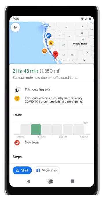
Safety Mapping: Apps that showcase transit or local maps are including additional safety features that protect people from the ongoing pandemic. Features include everything from COVID-19 case information for geographic regions to crowd-monitoring.
Insight
The ongoing pandemic has brought on the realization within the urban planning space that the current methods of designing public infrastructure, particularly in high-population regions, aren't as conducive to public health as they should be. People now expect public health to be an important consideration in these planning processes in the future, and are searching for ways to keep themselves safe in public spaces in the meantime.
Trend themes
Apps that showcase transit or local maps are including additional safety features that protect people from the ongoing pandemic.
Google and other companies are updating their navigation platforms to include real-time information on how crowded public transportation systems are, as well as how populated local businesses are.
Navigation platforms are supplementing their maps with information on pandemic-related statistics and resources, such as COVID-19 testing locations and case information
Industry implications
Urban planners should consider including public health considerations in their design processes, particularly in high-population areas.
Businesses in mapping technologies should consider adding real-time information and updates to their platforms that prioritize public health and safety.
Event planners should consider offering virtual and socially-distant alternatives to traditional events to keep attendees safe and comfortable.
Workshop question
Trend signals
Trend score 1.8 out of 10, from popularity 27%, activity 19%, freshness 9%.
Evidence
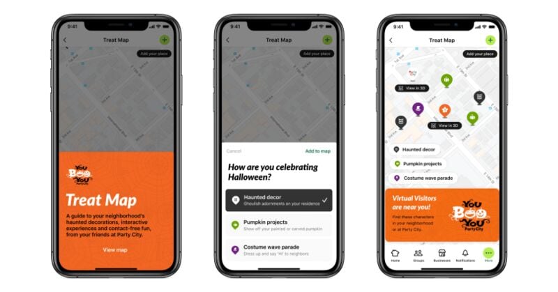
Nextdoor's Treat Map Helps to Plan a Safe Halloween Route
Event planning companies can pivot their services to offer virtual event management and unique AR experiences for clients looking to host engaging Halloween celebrations online.
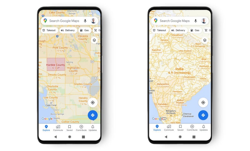
Google Maps Added Pandemic Statistics to Its Platform
Navigation technology companies can leverage pandemic statistics to enhance their platforms and offer users valuable insights for safer navigation during the COVID-19 pandemic.
Google Maps is Making It Easier for Canadians to Avoid Busy Stations
The transportation industry can benefit from leveraging advanced data analytics and technology to better manage crowd and improve safety measures in public transit systems.
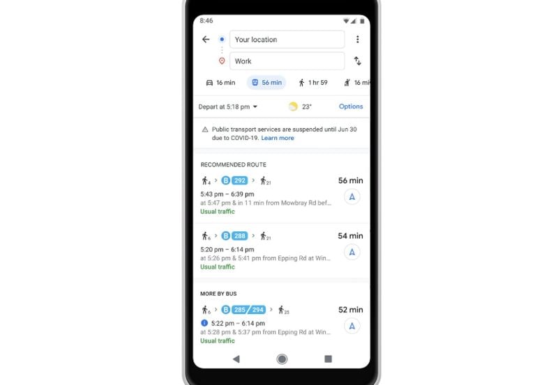
Google Maps Created Transit Alerts Featuring COVID-19 Travel Changes
Opportunity for transit systems to adopt new technologies and implement innovative solutions to enhance user experience and inform travelers about COVID-19 restrictions.