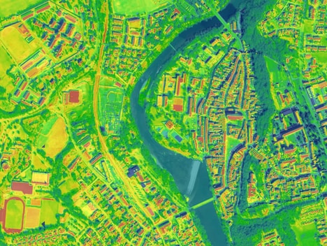


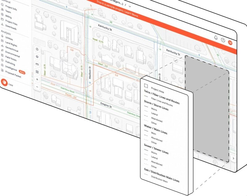
CivilGrid launched a mapping platform that aggregates utility, property ownership and environmental regulatory records into a single view of underground infrastructure. Founded by former PG&E engineer Josh Mackanic, the platform is designed to help governments, civil engineering firms and utilities identify buried assets and project constraints earlier in the planning process.
The company raised $26 million in a Series A led by Spark Capital, with participation from Afore, A*, Ford Street Ventures, SNR and Energy Impact Partners. CivilGrid has already worked with PG&E, which said a case study using the platform identified $60 million in avoidable paving costs across 1,600 planned gas distribution projects.
For contractors and utilities, the platform can reduce planning uncertainty, excavation delays and utility-strike risk by giving engineers consolidated subsurface and regulatory information earlier. CivilGrid also plans to build on its dataset to support additional planning and permitting automation.
Image Credit: CivilGrid
What Makes This Trend Stand Out
- Unified Subsurface Intelligence
- Consolidating utility, ownership and environmental records into one interface creates new data infrastructure for reducing uncertainty in construction and infrastructure planning.
- Predictive Excavation Planning
- Earlier visibility into buried assets and site constraints enables more accurate project scoping, lower strike risk and fewer costly field delays.
- Automated Permitting Workflows
- Expanding mapping datasets into planning and regulatory automation points to software-led modernization of slow, fragmented infrastructure approval processes.
Sectors Adopting This
- Civil Engineering
- Engineering firms gain access to integrated subsurface and regulatory context that improves feasibility analysis and preconstruction design decisions.
- Utilities
- Gas, electric and water providers benefit from consolidated asset intelligence that supports safer maintenance, capital planning and distribution upgrades.
- Construction Technology
- Digital platforms that merge geospatial data with project constraints signal growth opportunities for tools that de-risk excavation and infrastructure delivery.