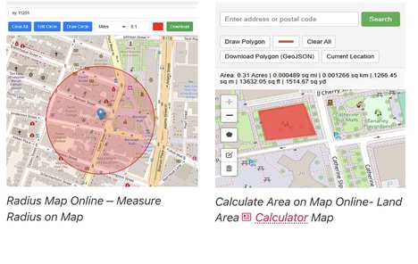

Snappy Mapper is designed to simplify this process by enabling users to collect and share vector-based spatial data without needing traditional GIS software.
The platform makes it easy for anyone to contribute or gather location-based data, removing technical barriers and jargon that usually come with geospatial workflows. This allows for more accessible and collaborative data collection across different users.
Snappy Mapper focuses on simplicity and usability, ensuring that accurate spatial data can be captured quickly and efficiently. It is designed for users who need reliable mapping data without the overhead of professional GIS tools. By streamlining the process, it enables faster data sharing and easier collaboration across teams and communities working with location-based information. Snappy Mapper turns complex geospatial data collection into a simple, accessible, and user-friendly experience.
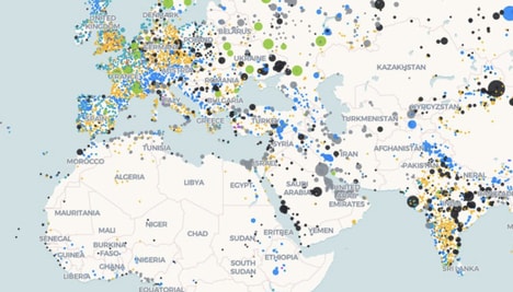
Image Credit: Snappy Mapper
What's Driving This Trend
- No-code Mapping
- Simplified spatial tools are lowering the expertise barrier around GIS workflows, creating room for platforms that turn location-data capture into an everyday business function.
- Crowdsourced Spatial Data
- Community and team-based mapping models are expanding the volume and freshness of location intelligence available for planning, monitoring, and operational decisions.
- Collaborative Field Intelligence
- Shared mobile-friendly data collection environments are reshaping how distributed users document physical spaces, assets, and changes in real time.
Who This Affects Most
- Geospatial Analytics
- Accessible vector-data collection is broadening the customer base for mapping intelligence beyond technical GIS specialists and enterprise software users.
- Urban Planning
- Faster collection and sharing of neighborhood-level spatial information is supporting more responsive infrastructure, zoning, mobility, and public-space decision-making.
- Environmental Monitoring
- User-friendly mapping platforms are making localized ecological, land-use, and conservation data easier to gather across communities and field teams.