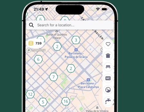
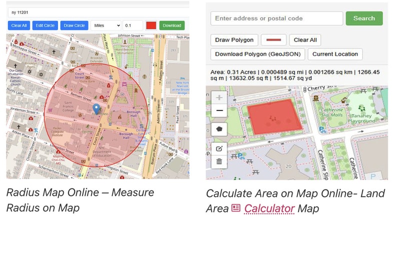
Online Map Maker operates within the GIS and digital mapping utility space, focusing on providing accessible geographic tools for everyday and professional use. The platform includes a wide range of functions such as GPX file viewing, shapefile visualization, elevation lookup, postal code search, distance measurement on maps, timezone detection, circle drawing, latitude and longitude plotting, and area calculation.
These tools allow users to interact with geographic data directly in the browser without requiring specialised desktop software. It supports quick analysis of spatial information for travel planning, logistics, research, and educational purposes. By combining multiple mapping utilities into one free platform, Online Map Maker creates a central environment for handling geospatial tasks efficiently. Users can visualise routes, measure regions, and explore coordinates with ease, making geographic data more accessible and interactive across a variety of practical applications and mapping scenarios.
Image Credit: Online Map Maker
Why This Trend Is Growing
- Browser-based GIS Accessibility
- Widespread browser-native GIS tools enable non-experts to perform spatial analysis without desktop software, opening possibilities for lightweight cloud-first mapping services that displace heavy client applications.
- Integrated Geospatial Toolkits
- Consolidation of functions like GPX viewing, shapefile rendering and area calculation into a single platform creates potential for modular mapping suites that serve diverse professional and consumer workflows.
- Real-time Route and Elevation Analysis
- Instant elevation lookup and distance measurement paired with timezone detection suggest new offerings in dynamic routing and contextualized analytics for time-sensitive geospatial decisions.
Industries Being Reshaped
- Logistics and Fleet Management
- Accessible mapping and route visualization could transform fleet operations through on-demand route optimization and integrated geofencing intelligence tied to real-world constraints.
- Urban Planning and Infrastructure
- Interactive spatial analysis tools for area calculation and shapefile visualization point toward more participatory planning platforms that merge citizen data with municipal GIS systems.
- Outdoor Recreation and Tourism
- GPX playback, elevation profiles and timezone-aware mapping create room for enriched trip-planning experiences and location-based content tailored to recreational users.