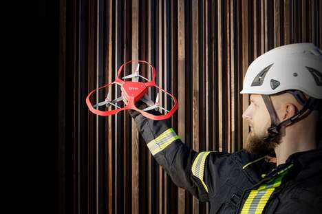
DJI drones will now incorporate wildfire alerts into their geofencing data, keeping unauthorized drones from entering dangerous areas and interfering with firefighting operations. The development comes in partnership with AirMap, "the world's leading provider of airspace intelligence and navigation services to unmanned aircraft," according to the DJI press release.
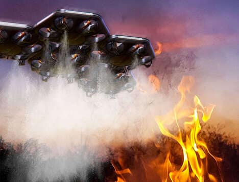
With drones becoming more common among consumers, there have been many recent issues with airspace regulation, including drones flying near airports, prisons or nuclear power plants. Since fighting wildfires requires aerial technology, it is essential that those airspaces remain clear. AirMap's wildfire information will come directly from the US Department of the Interior, meaning that DJI drones will have the most current navigation data available. When a wildfire is nearby, the DJI drones' app will alert its user to the fire and instruct them to steer clear.
This product development shows the capability of wireless technology to contribute to public safety in a meaningful way.
Why This Trend Is Growing
- Wildfire-avoiding Drones
- Incorporating wildfire alerts into drone geofencing data enhances safety measures and prevents unauthorized drone interference.
- Airspace Regulation for Drones
- The need for airspace regulation to prevent drones from flying near sensitive areas like airports, prisons, and nuclear power plants presents an opportunity for innovation in drone technology and airspace management.
- Wireless Technology for Public Safety
- The use of wireless technology, specifically in drones, demonstrates its potential to contribute to public safety by providing real-time information and alerts.
Industries Being Reshaped
- Drone Technology
- The incorporation of wildfire alerts into drone technology highlights the potential for further advancements in drone capabilities and applications.
- Airspace Management
- Developing effective airspace management systems and regulations can mitigate the risks associated with unauthorized drone flights and ensure safe airspace usage.
- Public Safety
- The integration of wireless technology in public safety measures, such as drone alerts for wildfires, creates opportunities for innovation in ensuring the well-being of communities.