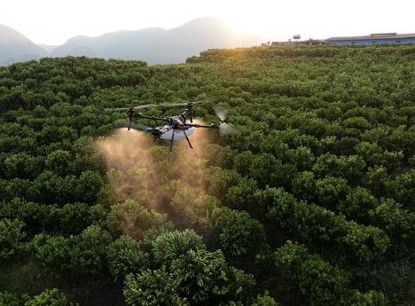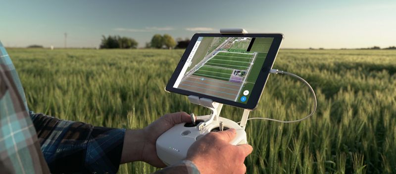
To the average consumer, drones are hobby products that amount to high-tech toys, but drones offer a bounty of practical benefits when equipped with the right tools — tools like DroneDeploy Fieldscanner. Far from a hobbyist's pleasure, DroneDeploy Fieldscanner is designed to give agriculture professionals an accurate and detailed real-time assessment of their land through the use of a drone.
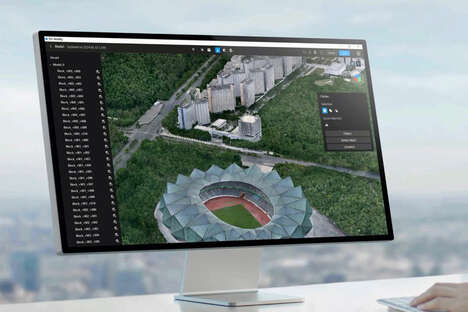
DroneDeploy Fieldscanner makes use of cameras on drones. With the software, users can essentially send their drone on a route that most efficiently tracks the lay of the land. The mapping is done as the drone's camera takes in images, so users can guide their drone to different areas whenever they choose to get a digital map. This information, which can be manipulated an processed live, requires no internet connection, making it an even more practical tool for farmers in rural areas.
Why This Trend Is Growing
- Real-time Mapping
- Drone mapping programs like DroneDeploy Fieldscanner offer real-time assessment and mapping of land, providing instant and accurate results to professionals in various industries.
- Aerial Surveillance
- Using camera-equipped drones, professionals can capture detailed aerial images for surveillance purposes, enhancing security and monitoring capabilities in industries such as law enforcement and facility management.
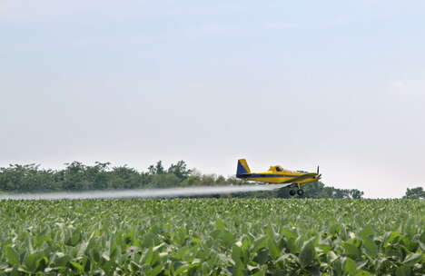
- Precision Agriculture
- With the help of drone mapping programs, farmers can obtain accurate and detailed information about their land, optimizing agricultural practices, minimizing resource wastage, and increasing productivity.
Industries Being Reshaped
- Agriculture
- Drone mapping programs can revolutionize farming by providing farmers with real-time mapping data for better land management, crop monitoring, and yield optimization.
- Infrastructure Development
- In the construction and infrastructure industry, drone mapping programs enable professionals to quickly and accurately survey land, monitor project progress, and ensure compliance with plans.
- Environmental Monitoring
- Drones equipped with mapping programs can be used in environmental monitoring to analyze landscapes, detect changes, and assess the impact of human activities on ecosystems.