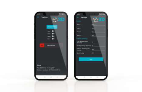

Australian geospatial innovation company Klau Geomatics has long established itself as one of the market leaders in mapping and surveying, and the company is now looking to bring added mobile functionality to its suite of products with the introduction of a new survey app that helps surveyors better manage their products.
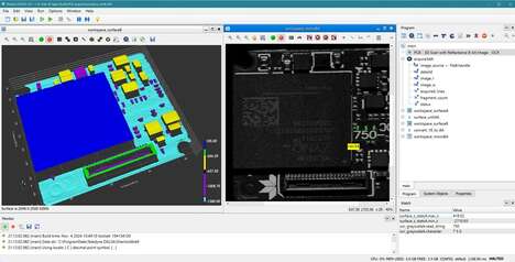
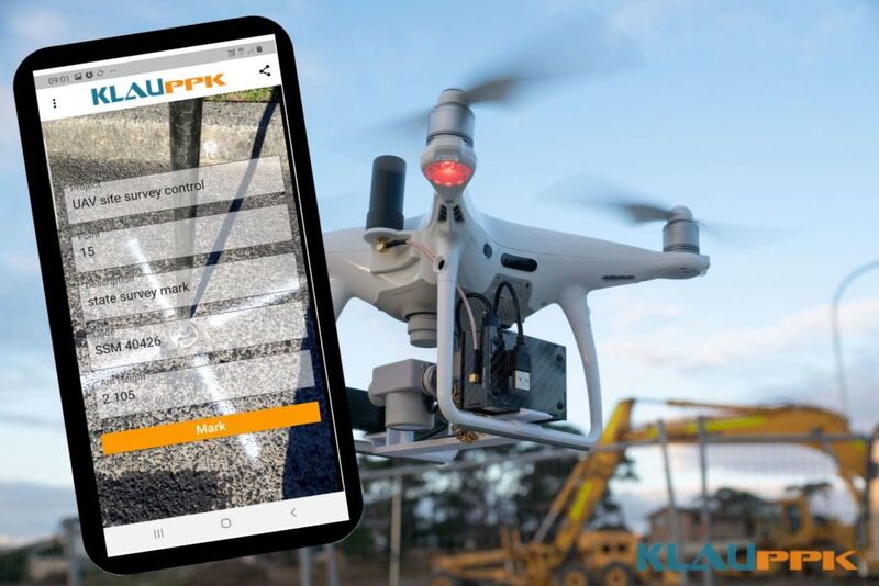
The 'KlauPPK' ground survey app leverages on the identically named KlauPPK software and hardware programs by sending survey information to the computer for processing. Once data points are processed, survey data can then be incorporated into computer-assisted design programs. The app is also capable of photographing survey points of interest.
The big advantage of this ground survey app is that it allows managers of geospatial survey projects to ensure that data on ground features such as utility facilities and roads are collected and surveyed without spending additional sums of money on survey equipment.
Image Credit: Klau Geomatics
Why This Trend Is Growing
- Mobile Geospatial Survey Apps
- Klau Geomatics' introduction of a new mobile survey app demonstrates a trend towards mobile geospatial surveying.
- Computer-assisted Surveying
- The KlauPPK app's incorporation of survey data into computer-assisted design programs points towards a trend of computer-assisted surveying.
- Survey Data Management
- The KlauPPK app's functionality allows managers of geospatial survey projects to better manage survey data and highlights a trend towards improved survey data management.
Industries Being Reshaped
- Geospatial Surveying
- Klau Geomatics' new mobile survey app is disruptive to the geospatial surveying industry by providing new technology for survey data collection and management.
- Computer-aided Design (CAD)
- The incorporation of survey data into CAD programs by the KlauPPK app opens up opportunities for disruptive innovation in the CAD industry.
- Utility and Infrastructure Mapping
- The KlauPPK app's ability to gather precise ground data on utility facilities and roads has the potential to revolutionize the utility and infrastructure mapping industry.