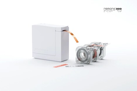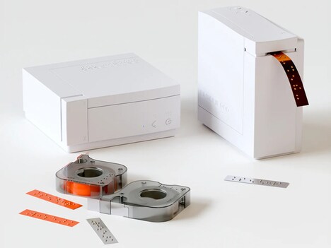
Japan's official mapping organization is developing software that makes tactile maps for the visually impaired using 3D printing technology. GSI is creating a program that will allow the blind to print out 3D versions of maps found online.
The governmental department already has paper maps for the blind with embossed surfaces to identify roads. This development will do something similar for maps in the digital form by differentiating highways, pedestrian walkways and rail lines. GSI's software will make a 3D model with different textures so blind people will be able to determine what is what by running their finger over it. The tactile maps will also include accurate topographies using contour lines.
Users will require their own 3D printer, but the GSI counters the technology is becoming increasingly affordable.
Why This Trend Is Growing
- Tactile Mapping
- The development of software for 3D printing tactile maps opens up opportunities for visually impaired individuals to better navigate their surroundings.
- Accessible Technology
- The use of 3D printing technology to create tactile maps demonstrates a growing trend towards creating inclusive and accessible technology solutions for people with disabilities.
- Digital to Physical Transformation
- The ability to convert digital maps into 3D tactile maps through software and 3D printing showcases the potential for transforming digital information into physical, tangible objects.
Industries Being Reshaped
- Mapping and Navigation
- The development of software for 3D printing tactile maps presents an innovative opportunity for companies in the mapping and navigation industry to create inclusive products and services for the visually impaired.
- Assistive Technology
- The use of 3D printing technology to create tactile maps for the visually impaired highlights the potential for disruptive innovation within the assistive technology industry.
- 3D Printing
- The increasing affordability of 3D printing technology opens up new opportunities for individuals and businesses to create customized tactile maps and other tactile objects.