Leonardo and Telespazio collaborated with startup Raysilience to develop a backup navigation system designed for GNSS-denied environments. The completed project delivered a plug-and-play visual positioning system that uses satellite imagery and advanced data interpolation to support autonomous navigation when GNSS signals are unavailable.
The solution was developed through Raysilience’s participation in the T-TeC — Telespazio Technology Contest 2024 and was designed for unmanned aerial vehicles and other platforms where positioning continuity is critical. Its plug-and-play architecture allows the system to be integrated across different platforms with minimal modification, while the completed project validated the approach as a viable backup navigation method.
For operators, the system offers an additional layer of navigation resilience when satellite positioning is disrupted or unavailable. The project reflects growing demand for autonomous platforms that can maintain positioning continuity without relying exclusively on GNSS.
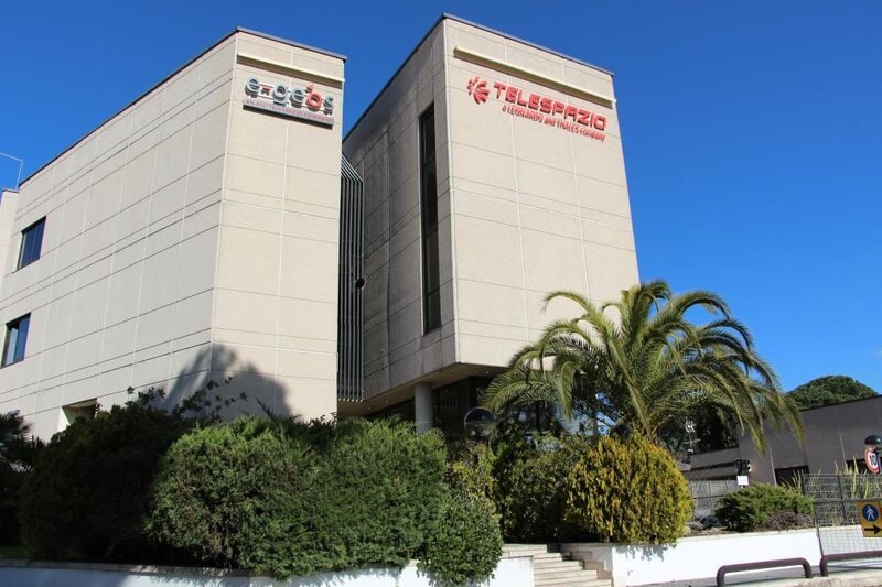
Image Credit: Leonardo and Telespazio
What Makes This Trend Stand Out
- Gnss-denied Navigation
- Rising dependence on autonomous systems is increasing demand for alternative positioning technologies that maintain operational continuity when satellite signals are jammed, spoofed, or unavailable.
- Plug-and-play Autonomy
- Modular navigation components are creating faster pathways for upgrading unmanned platforms without costly redesigns or platform-specific integration cycles.
- Satellite-image Positioning
- Visual positioning powered by satellite imagery and data interpolation is expanding the role of earth observation data from monitoring applications into real-time navigation support.
Sectors Adopting This
- Aerospace and Defense
- Mission-critical aircraft, drones, and defense platforms are creating strong market potential for resilient backup systems that reduce reliance on vulnerable GNSS infrastructure.
- Unmanned Aerial Vehicles
- Commercial and government drone operators are benefiting from navigation redundancy that enables safer autonomous flight in contested, remote, or infrastructure-limited environments.
- Satellite Services
- Earth observation providers are finding new value in satellite imagery as a foundational input for positioning, autonomy, and resilience-focused mobility solutions.