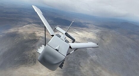
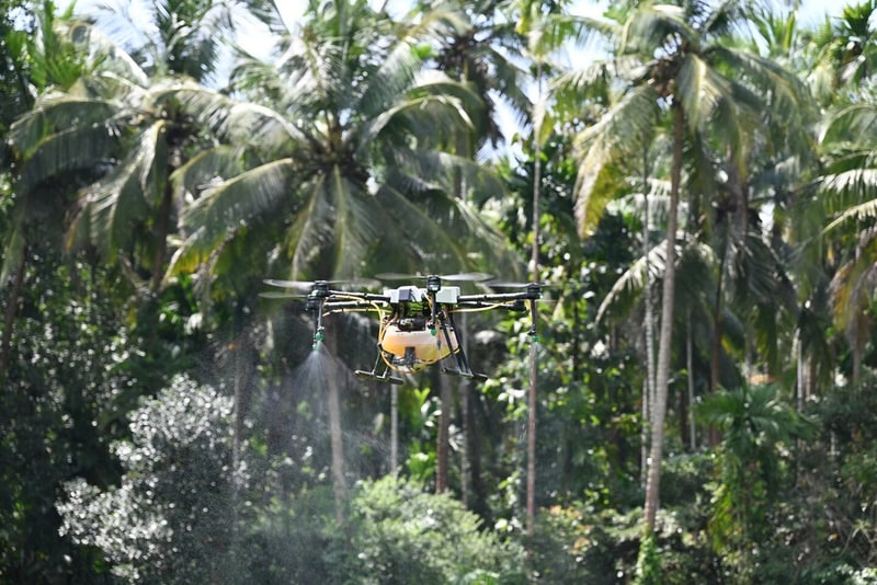
DroneDash Technologies and GEODNET formed GEODASH Aerosystems to build an agricultural spraying drone designed to operate inside geo-fenced boundaries without pre-mapped fields, featuring in-flight perception and centimetre-level positioning. The platform combined DroneDash’s AI vision with GEODNET’s positioning correction to let the aircraft interpret rows, trees and terrain while airborne.
The near-production system adjusted altitude and spray rates in real time and logged decisions for operator review. Each flight fed data to DroneDash’s AI Smart Farming backend, producing canopy density, plant-health scores, spray-effectiveness checks and terrain profiles. Pilots and validation projects ran through 2025 and early 2026 ahead of a planned commercial rollout in Q3 2026.
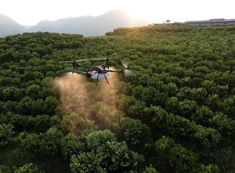
For large estates such as palm oil plantations and row-crop operations, these drones reduced the need for repeated field mapping and flight-plan rebuilding, speeding redeployment after growth or terrain changes. By acting as both applicator and aerial sensor, the platform promised tighter treatment accuracy and continuous agronomic data for operational decisions.
Image Credit: DroneDash Technologies
Key Themes Behind This Trend
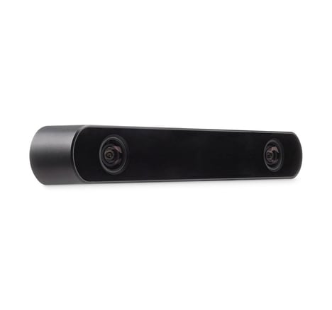
- In-flight Perception for Crops
- Real-time vision-based interpretation of rows, trees and terrain enables spray systems to differentiate canopy structure and adapt treatments based on live crop conditions.
- Geo-fenced Autonomous Operations
- Centimetre-level positioning within dynamic geo-fences allows aircraft to operate safely and precisely without pre-mapped fields, supporting rapid redeployment across changing landscapes.
- Sensor-enabled Application Feedback
- Integrated sensing that logs spray rates, canopy density and plant-health scores creates continuous treatment validation and closed-loop agronomic datasets for performance optimization.
Where This Applies
- Row-crop and Plantation Agriculture
- Large estates could see reduced manual surveying and more targeted chemical use as autonomous sprayers combine application and sensing to address heterogeneous field conditions.
- Precision Agriculture Software
- Backend platforms aggregating flight, sensor and health metrics may enable new analytics products that contextualize treatment effectiveness across time and micro-terrain.
- Drone Manufacturing and Positioning Systems
- Manufacturers and GNSS-correction providers can advance compact, integrated airframes that fuse AI vision with centimetre-level localization for reliable field operations.