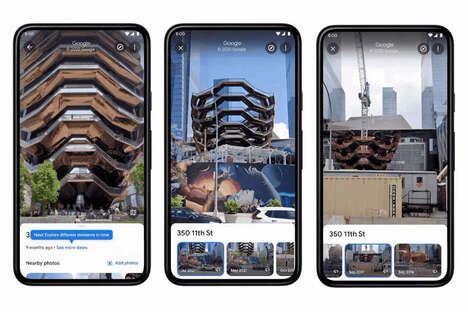
The Google Street View Hyperlapse software is the brainchild of creative agency Teehan+Lax.
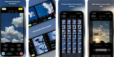
It capitalizes on the Internet phenomenon of hyper-lapse photography, which is a “technique combining time-lapse and sweeping camera movements typically focused on a point-of-interest.” However, Teehan+Laix’s Google Street View Hyperlapse uses Google Earth and Google Maps as the main source to create stunning videos.
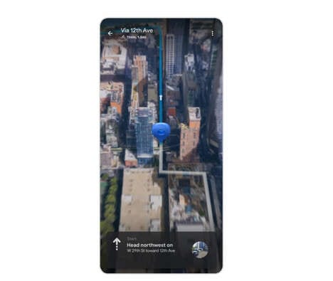
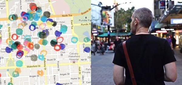
According to Hyperallergic, the software takes images from Google Street View and “maps them along a path that the user chooses from point A to point B on a Google Earth road.” With this software, one can make a video that showcases a virtual road trip along the highways of the world. Create your own virtual journey through the world’s open roads with the Google Street View Hyperlapse by Teehan+Laix.
Why This Trend Is Growing
- Hyper-lapse Photography
- The growing popularity of hyper-lapse photography could lead to the development of innovative software solutions that allow users to create stunning videos with ease.
- Virtual Tourism
- Software solutions like the Google Street View Hyperlapse can help fuel virtual tourism by providing users with an immersive experience of different destinations without the need for travel.
- AI-powered Navigation
- Artificial intelligence-based navigation could help enhance the user experience with software like the Google Street View Hyperlapse by providing smarter routing and real-time recommendations.
Industries Being Reshaped
- Travel and Tourism
- Through software solutions like the Google Street View Hyperlapse, the travel and tourism industry could offer users a more immersive and engaging experience, potentially increasing interest in their offerings.
- Entertainment
- The ability to create stunning virtual road trips through software solutions like the Google Street View Hyperlapse could revolutionize the entertainment industry by offering users a unique and engaging experience.
- Technology
- Continued advances in technology and software development could lead to more innovative solutions like the Google Street View Hyperlapse that enhance user experiences and offer new opportunities for creativity and exploration.