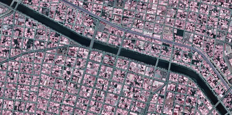


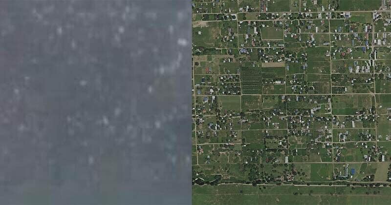
Satlas AI is a new artificial intelligence system developed by the Allen Institute for AI that can enhance and zoom satellite imagery, making it sharper and more useful for various applications. The system uses deep learning to analyze and process images from different sources, such as Landsat, Sentinel, and MODIS, and apply various transformations, such as atmospheric correction, radiometric calibration, and spectral enhancement. The system can also generate high-resolution images from low-resolution ones, or create synthetic images from scratch based on user-defined parameters.
The Satlas AI system has several potential benefits for users who need to access and analyze satellite imagery. For example, it can help improve the quality and accuracy of environmental monitoring, disaster management, agriculture, urban planning, and security. It can also enable new applications that require high-resolution or synthetic imagery, such as 3D reconstruction, object detection, or image editing. The system is currently available as a web-based interface that allows users to upload their own images or use pre-trained models to apply various transformations. The system is also integrated with other tools and platforms from the Allen Institute for AI, such as Atlas Spacecraft Simulator and Atlas Spacecraft Simulator 2.
Image Credit: Allen Institute for AI
Why This Trend Is Growing
- Enhanced Satellite Imagery
- Satlas AI uses deep learning to enhance and zoom satellite imagery, providing sharper visuals and more useful data for various applications.
- High-resolution Image Generation
- The AI system can generate high-resolution images from low-resolution ones or create synthetic images based on user-defined parameters.
- AI-enabled Image Analysis
- Satlas AI enables new applications like 3D reconstruction, object detection, and image editing by applying deep learning to analyze and process satellite images.
Industries Being Reshaped
- Environmental Monitoring
- The enhanced satellite imagery provided by Satlas AI can greatly improve the quality and accuracy of environmental monitoring efforts.
- Disaster Management
- Satlas AI's deep learning capabilities can help enhance satellite imagery for better disaster management, improving response and recovery efforts.
- Urban Planning
- By utilizing Satlas AI's high-resolution image generation, urban planners can have access to more detailed visuals for better decision making in urban development projects.