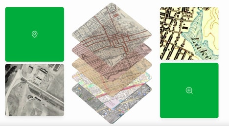
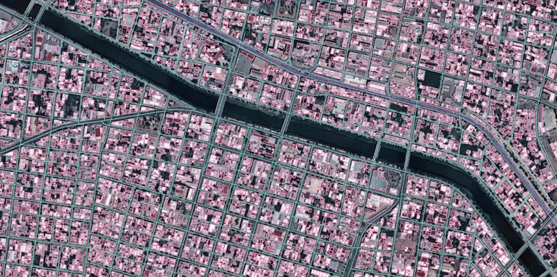
Maxar Intelligence, a provider of high-resolution satellite imagery, and Ecopia AI, a specialist in artificial intelligence-based mapping systems, have partnered to produce Vivid Features, which generates highly detailed two-dimensional and three-dimensional vector maps on a global scale.
Vivid Features integrates Maxar's satellite imagery, which boasts a resolution of 30 centimeters and is processed through automated geospatial fusion software, with Ecopia's AI algorithms to automatically extract and define features such as building outlines, road networks, and land cover classifications. The core technological claim of the vector maps is exceptional positional accuracy, which remains consistent across different image sources and over time. This capability addresses a common challenge in digital cartography known as 'vector drift,' where features become misaligned with updated base imagery.
Vivid Features will specifically appeal to individuals within government, commercial mapping, and urban planning sectors.
Image Credit: Maxar Intelligence x Ecopia AI
Key Themes Behind This Trend
- Automated Geospatial Mapping
- The partnership showcases the transformative potential of AI-enhanced geospatial technologies to automate the generation of detailed vector maps, overcoming traditional mapping challenges.
- Hyper-accurate Digital Cartography
- High-resolution satellite imagery integrated with AI algorithms is driving innovations in creating precise map features without suffering vector drift, marking a new era of accuracy in digital cartography.
- AI-powered Urban Planning
- The application of advanced AI mapping systems in urban planning offers unprecedented accuracy in representing dynamic urban environments, enhancing the effectiveness of planning initiatives.
Where This Applies
- Satellite Imagery
- Combining satellite imagery with AI mapping technology presents opportunities for enhanced data precision and more actionable satellite-based insights.
- Digital Mapping
- The fusion of AI and high-resolution imagery is innovating digital mapping by enabling the creation of intricate and consistently accurate spatial representations.
- Urban Development
- Advanced vector mapping technologies are revolutionizing how cities are planned and developed, offering city planners tools to manage urban growth accurately.