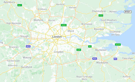
This interactive animated whale tracking map allows viewers to follow the journeys of sperm whales, beaked whales, false killer whales and pigmy killer whales around the islands of Hawaii. Viewers can even click on individual whales and stalk them. The map also projects wind and ocean currents in real time. Witnessing live tracking information on whales is quite an amazing experience, as you can see how the whales are distributed around the islands and where they congregate.
This whale tracking map was put together by the Smartmine technology group, which is a subsidiary of reputed earth sciences and technology company GeoEngineers. Smartmine focuses on building software to help earth scientists and geo-engineers expand their knowledge of the earth.
The map uses data supplied by Dr. Robin Baird of the Cascadia Research Group. This data is drawn from a broader volume of research on the whales of the Hawaiian Islands.
Why This Trend Is Growing
- Interactive Whale Tracking
- Opportunity to develop interactive maps and tracking technology for wildlife monitoring and conservation.
- Real-time Tracking Information
- Potential for real-time tracking and data visualization in various industries, such as logistics and transportation.
- Data-driven Insights
- Opportunity to use data analytics and machine learning to gain deeper insights into whale behavior and migration patterns.
Industries Being Reshaped
- Wildlife Monitoring and Conservation
- Innovations in interactive maps and tracking technology can revolutionize wildlife monitoring and conservation efforts.
- Logistics and Transportation
- Real-time tracking and data visualization can optimize supply chain management and transportation logistics.
- Data Analytics and Research
- Use of data-driven insights can enhance research in marine biology, ecology, and environmental sciences.