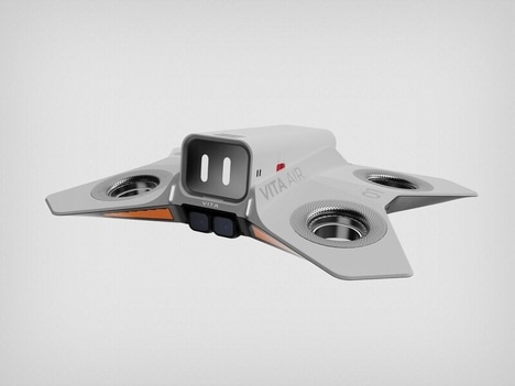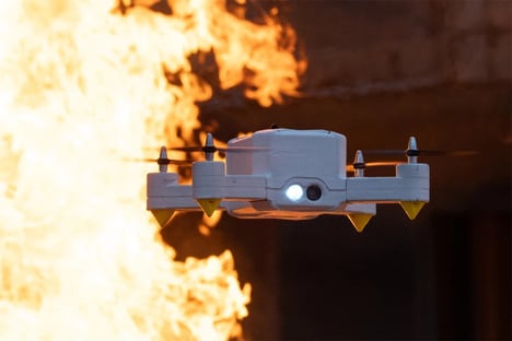

A group of scientists working out of the University of Exeter have developed the UAV Toolkit app, which is designed to make it easier for emergency and first-responders to get all the navigation assistance that they require in the event of some sort of crisis or disaster.
The app makes use of the kind of on-board sensors that are already a common feature on most smartphones. It then goes about generating high-tech spatial data when the smartphone device is attached to an airborne drone, by capturing photos and images depending on the programmed specifications.
This particular app is a fine example of community-based mapping and navigation, something that could be used in first responder and military settings as well to save lives and minimize human tragedy.
Why This Trend Is Growing
- Community-based Mapping
- Opportunity to develop apps and solutions that utilize community-generated spatial data for various industries such as emergency response and military.
- Mobile Sensor Technology
- Potential for developing innovative applications that leverage smartphone sensors for capturing spatial data and imagery, benefiting industries like navigation and disaster management.
- Drone-assisted Navigation
- Opportunity to create advanced navigation systems using drones and mobile devices, enabling efficient and accurate navigation in emergency and crisis situations.
Industries Being Reshaped
- Emergency Response
- Disruptive innovation opportunities include developing apps and technologies that enhance coordination, mapping, and navigation for emergency responders during crises and disasters.
- Military
- Potential for disruptive innovation in the military sector by leveraging community-based mapping and drone-assisted navigation to improve operational efficiency and decision-making.
- Navigation
- Opportunity to create disruptive navigation solutions integrating mobile sensors and drone-assisted imaging to provide accurate and real-time navigation guidance in various industries such as transportation and logistics.