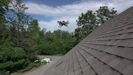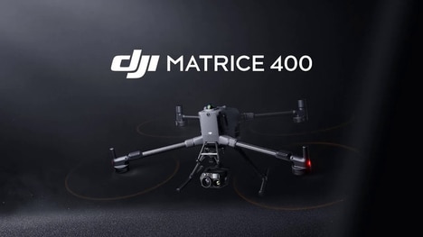
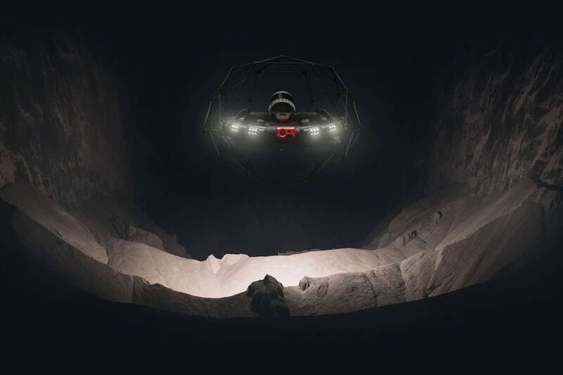
Flyability, a company spun out of research that was pioneered by a group of engineers over at the EPFL research institute in Switzerland, has designed a mapping drone that is designed to generate a three-dimensional understanding of the most cramped of surroundings without incurring physical damage.
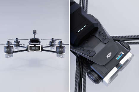
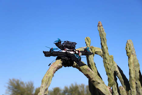
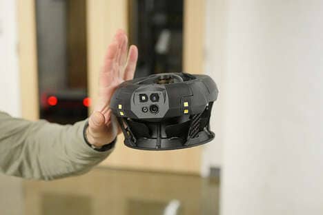
The 'Eliios 3' quadcopter is able to achieve this thanks to the use of a carbon fiber cage in which it is encased, allowing it to withstand crashes. As far as mapping functionality is concerned, this particular mapping drone comes equipped with a LiDAR sensor that works in conjunction with special mapping software that allows the quadcopter to record 3D models of its environment.
Considering that the drone is capable for functioning for over 12 minutes on a single charge whilst withstanding rain thanks to its waterproof construction, it's evident that this quadcopter could be useful for exploration and surveys of hard-to-reach areas.
Image Credit: Flyability
What Makes This Trend Stand Out
- Crash-resistant Drones
- Drones with enclosed carbon fiber cages present new opportunities to map and explore otherwise inaccessible environments.
- Waterproof Quadcopters
- The incorporation of waterproof materials and features in drones allows for more diverse applications and increased operational durability.
- Advanced Mapping Software
- Combining LiDAR sensors and innovative mapping software enables the creation of detailed 3D models, opening up possibilities for industries such as construction, mining, or archaeological research.
Sectors Adopting This
- Environmental Surveying
- Carbon-caged mapping drones can expedite environmental surveys, assess damage to structures, and track ecological changes with robust accuracy.
- Search and Rescue
- With the ability to navigate hard-to-reach areas, crash-resistant and waterproof drones can significantly aid search and rescue operations in challenging terrains.
- Infrastructure Inspections
- Drones with advanced mapping capabilities can help inspect and maintain transportation infrastructures, such as bridges and tunnels, by providing detailed high-resolution maps of these structures.