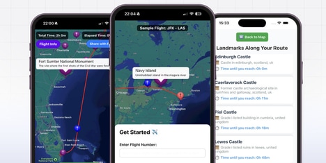
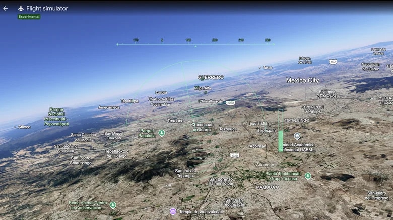
Browser-based flight simulation is expanding beyond entertainment by turning web mapping platforms into immersive, interactive exploration tools. Google Earth's experimental browser flight simulator lets users pilot an aircraft across detailed 3D landscapes without downloading dedicated software, blending mapping technology with real-time simulation. This creates a more engaging way to explore cities, landmarks, and natural environments while showcasing the capabilities of modern web graphics.
For businesses, the feature highlights growing demand for interactive geospatial experiences that increase user engagement and time spent on digital platforms. Travel companies, tourism boards, educators, and real estate firms could use similar browser-based simulations to offer virtual site visits and destination previews. The approach also demonstrates how mapping services can evolve into experience platforms, opening new opportunities for partnerships, branded content, and location-based digital services while encouraging broader adoption of advanced web technologies.
Image Credit: Google Earth
Key Themes Behind This Trend
- Browser-based Simulation
- Web-native simulation experiences are reducing software barriers while creating new engagement models for education, tourism, real estate, and digital exploration platforms.
- Interactive Geospatial Experiences
- Immersive map interfaces are turning static location data into dynamic environments that support virtual discovery, branded storytelling, and richer customer journeys.
- Virtual Destination Previews
- Detailed 3D previews of places are reshaping travel planning and site evaluation by giving users more realistic ways to assess locations before visiting.
Where This Applies
- Travel and Tourism
- Destination marketers and travel platforms gain new formats for showcasing cities, landmarks, and natural environments through immersive browser-based exploration.
- Education Technology
- Geography, history, and environmental learning can become more experiential as students navigate realistic digital landscapes directly through web-based tools.
- Real Estate
- Property and development firms benefit from interactive aerial visualization that contextualizes buildings, neighborhoods, and surrounding amenities in a more accessible format.