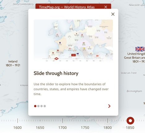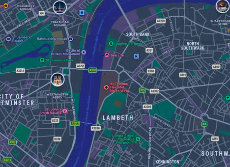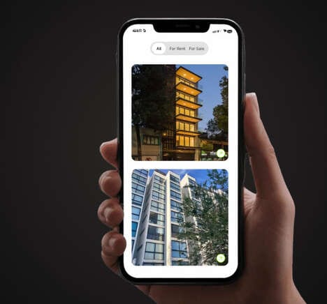
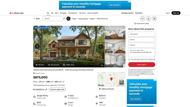
Realtor.com is introducing a new interactive mapping feature, named FlyAround. This tool utilizes satellite imagery to provide a three-dimensional perspective of residential properties and their immediate surroundings.
FlyAround is designed to allow potential homebuyers to visually assess a property's lot dimensions, the lay of the land, and its proximity to neighboring homes and community features directly from the website's listing page. The interactive mapping feature is powered by a third-party provider and integrates data from the Google Maps Platform.
The primary benefit of this tool is the ability to conduct a more thorough and efficient preliminary screening of properties from a distance, which is especially valuable for individuals relocating to a new city or state. Realtor.com positions this development as a response to growing consumer willingness to consider purchasing a home without an initial physical visit. The feature is scheduled to become available for most property listings on the platform in the near future.
Image Credit: Realtor.com
What's Driving This Trend
- Immersive Real Estate Virtualization
- Interactive 3D mapping tools like FlyAround are revolutionizing how prospective buyers evaluate properties remotely, potentially increasing sales to remote purchasers.
- Augmented Property Exploration
- By enabling an immersive exploration of neighborhoods, these mapping features help buyers make informed decisions without physically visiting locations.
- Satellite Imagery Integration
- Integrating detailed satellite imagery into real estate platforms offers consumers a comprehensive view of geographic features and community layouts from afar.
Who This Affects Most
- Real Estate Technology
- As interactive mapping becomes more prevalent, real estate tech companies are poised to deliver enhanced visualization tools that improve user engagement and decision-making.
- Geospatial Services
- The collaboration between real estate platforms and geospatial data providers is vital for developing advanced mapping features that enhance property search experiences.
- Remote Property Buying Solutions
- Innovations in remote property evaluation tools cater to the growing market of buyers willing to purchase homes online, reshaping the traditional real estate transaction process.