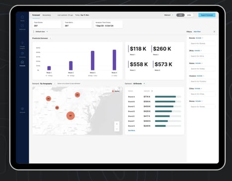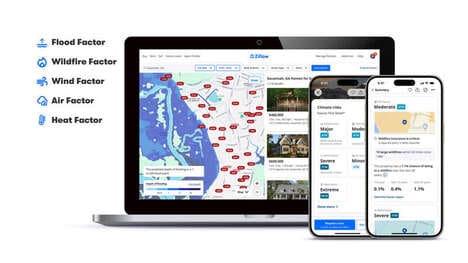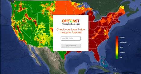

A new interactive climate map, Climate Explorer, now lets users see how global warming will affect their city via their smartphone. The National Oceanic and Atmospheric Administration or NOAA, offers interactive maps which provide predictions past and present of climate-related changes. With data dating back to the 1950s overlaid by data that researchers forecast for 2100, a grim truth about the direction we're collectively heading is portrayed.
Simply entering a country, city, or zip code will prompt the site to reveal the maps of the requested geographic region. David Herring, program manager at NOAA's climate program office says the map was created with the intention to make “projections of how much and how fast change is happening is crucial to help communities prepare and become more resilient.”
The interactive climate maps could act as a valuable tool in combating global warming on both a personal, and political level.
Key Themes Behind This Trend
- Interactive Climate Maps
- Disruptive innovation opportunity: Developing personalized climate change action plans based on individual city data.
- Climate-related Changes
- Disruptive innovation opportunity: Creating sustainable and adaptive solutions in various industries to mitigate the impact of global warming.
- Data-driven Projections
- Disruptive innovation opportunity: Leveraging advanced analytics and machine learning to generate accurate climate change projections for strategic decision-making.
Where This Applies
- Urban Planning
- Disruptive innovation opportunity: Developing smart cities that integrate climate data to create sustainable urban environments.
- Renewable Energy
- Disruptive innovation opportunity: Expanding renewable energy infrastructure to combat climate change and reduce reliance on fossil fuels.
- Insurance
- Disruptive innovation opportunity: Designing innovative insurance products that provide coverage and protection for climate-related risks and disasters.