
The Flyover feature by Strava is a new tool that consumers can use to replay their driving journey through a 3D video map. Using the powers of Fatmap, a 3D mapping platform, the feature showcases 3D animated videos that detail your most recent travel history.
Accessible by clicking the "flyover" button located on the bottom right of an activity, the feature provides a bird's-eye view of the route taken during the tracked activity. Users can engage with this immersive experience, gaining insights into the geographical layout and terrain encountered during their journey.
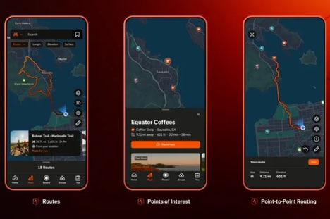
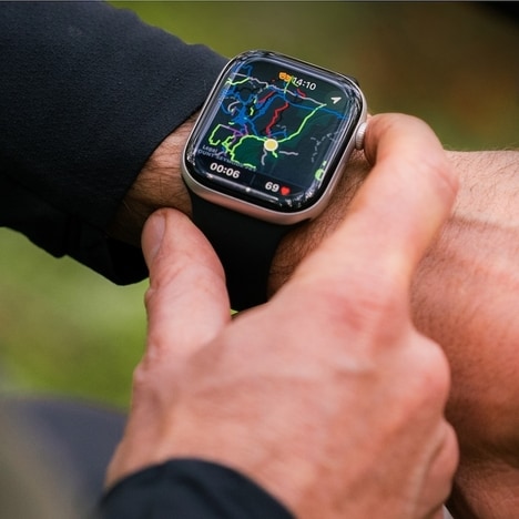
Strava acquired Fatmap back in early 2023, with the platform primarily focusing on ski resort maps. Now, the company has positioned itself as a "Google Maps for the outdoors."
Image Credit: Tada Images
What Makes This Trend Stand Out
- 3D Mapping
- The Flyover feature by Strava utilizes 3D mapping technology to create immersive video recaps of GPS activities.
- Immersive Experiences
- The Flyover feature provides users with a bird's-eye view and immersive experience of their tracked activities.
- Geographical Insights
- Users can gain insights into the geographical layout and terrain encountered during their journeys using the Flyover feature.
Sectors Adopting This
- Fitness
- The Flyover feature enhances the tracking and visualization experience for fitness enthusiasts who use GPS activities.
- Travel & Tourism
- The Flyover feature can offer a unique way for travelers to revisit and share their travel routes in an immersive 3D video format.
- Outdoor Recreation
- Strava's Flyover feature positions itself as a valuable tool for outdoor enthusiasts, providing detailed 3D maps of various terrains and locations.