MapGO provides a platform for real-time geospatial analysis, turning raw coordinate data into practical insights. By enabling users to calculate distances, identify administrative boundaries, and examine spatial relationships, it simplifies complex geographic computations that are often required across logistics, urban planning, and environmental research.
The tool’s precision and speed allow businesses and analysts to make data-driven decisions based on accurate spatial information. For industries that rely on location-based intelligence — such as transportation, retail, and public infrastructure — MapGO represents a scalable solution for optimizing operations and improving geographic awareness. From a business standpoint, it demonstrates the increasing importance of geospatial intelligence in modern analytics, supporting informed decision-making and operational efficiency across both private and public sectors.
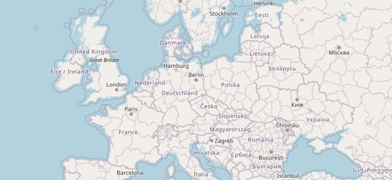
Image Credit: MapGO
Key Themes Behind This Trend
- Real-time Geospatial Analysis
- The capability of platforms to deliver real-time geospatial insights offers significant potential for businesses that need immediate and precise spatial data interpretation.
- Location-based Intelligence Solutions
- With the growing demand for actionable location-based intelligence, platforms like MapGO cater to industries seeking to leverage spatial data for strategic advantages.
- Enhanced Spatial Computation Techniques
- Innovations in simplifying geographic computations present opportunities for numerous sectors to better understand and utilize spatial relationships and data.
Where This Applies
- Logistics and Transportation
- The integration of high-speed geospatial analysis tools, like MapGO, offers the logistics and transportation sector enhanced route optimization and location tracking capabilities.
- Urban Planning and Development
- Urban planning can greatly benefit from advanced spatial analysis by enabling more efficient infrastructure development and resource allocation.
- Environmental Research
- Environmental research gains from enhanced geospatial intelligence through improved data analysis of ecosystems, helping in better environmental impact assessments.