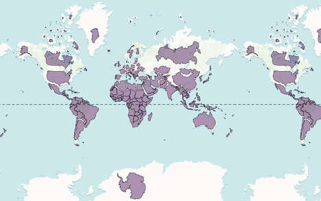


In an effort to better inform the public of the complex land history of the world, Vancouver-based web developer, Victor Temprano, launched an interactive digital map dubbed 'Native Land.' The tool shows which Indigenous groups resided in any given area over the centuries up to the present day.
Native Land is supported by user feedback and community contributions, that being said, the platform does disclose that the boundaries represented on the interactive map are not definitive. The platform should be viewed as a stepping stone for users to learn more about complex history or where they reside. Ultimately, Native Land hopes to showcase that " Indigenous people have lived all across the land at one time," helping to "unpack a history of colonialism and genocide."
Image Credit: Native Land
What Makes This Trend Stand Out
- Interactive Land Map
- Digital mapping tools that allow users to understand the complex land history of the world and indigenous lands they reside on.
- Community Feedback
- Platforms that rely on user feedback and community contributions can improve accuracy and community involvement in digital mapping tools.
- Indigenous Education
- Trends that promote greater understanding and education of indigenous history and the land they have lived on.
Sectors Adopting This
- Technology
- There is potential for tech companies to apply digital mapping tools to other areas such as urban development and environmental conservation.
- Education
- Academic institutions can use interactive land maps to help students better understand historical and cultural contexts.
- Tourism
- The use of interactive land maps can help travelers learn about indigenous history and culture when visiting new places.