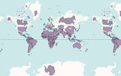
Carlos Labs have used Google Maps and data collected over the years to determine how much of a town would vaporize if it were hit with an atomic or nuclear weapon.
Note to Homeland Security: this is only a map thingy to mess with, not a plan. Repeat, this is not a plan.
You can choose from real world weapons and “Nuke It” and the map displays the carnage. Even the bombs that ended WWII can be displayed, along with the biggest bomb ever.
What's Driving This Trend
- Virtual Bombing Maps
- Utilizing virtual technology and mapping software to simulate bombing scenarios for educational and theoretical purposes.
- Disaster Preparedness Planning
- Using interactive maps to plan for potential disasters, both natural and human-caused.
- Geospatial Data Visualization
- Creating 3D visualizations of geospatial data to better understand potential risks and threats.
Who This Affects Most
- Defense and Military
- Developing interactive maps for training, simulation, and strategic planning purposes.
- Emergency Management
- Implementing interactive mapping software to prepare for and respond to potential disasters.
- Travel and Tourism
- Using interactive maps to provide educational and historical context for popular travel destinations.